Pakistan map

Evolution of the Map of Pakistan

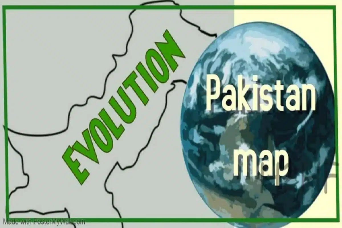
Pakistan map has mostly been centered on the Indus River Valley, give and take a few thousand square kilometers depending on which neighbor had more national power in that era.

Currently, Pakistan is several Hundred thousand square kilometers short of what it has been historically, topographically, and ethnically speaking.

Also, see

Pakistan Map history

Pakistan’s history begins around 2500 years ago with the city-states of

  • Mohenjo-Daro,
  • Harappa,
  • Mehrgarh,
  • Multan and
  • Peshawar.

This land was named “Indus” by the Persian King Darius around 500 BC as it was nearly impossible to venture further eastward into India because of

  • Five massive Rivers
  • Thick jungle
  • Local warrior princes

Indus Valley Civilization that fed off the Fiver Rivers of this valley

  • Ravi – nearly dry
  • Beas – bone dry
  • Sutlej – bone dry
  • Chenab – nearly dry
  • Indus – depleting rapidly

Traditionally “Indus” valley has included

  • Afghanistan,
  • Kashmir
  • Northern Belt of India and
  • Coastal land up to Surat port in the South.

Indus Valley Civilization Map 

Indus Valley Civilization map almost stayed the same for two thousand years.

Courtesy Wikipedia

Mughal Empire Map 

The Muslim Mughal Rulers for the first time in India’s history expanded this footprint from

  • The easternmost flank of Bengal to
  • The western one, Afghanistan.

Pakistan was still the center of the orbit.

All India Muslim League Map of Pakistan

Even All India Muslim league’s map was broadly in the same lines as the ancient Indus Valley Map with the addition of Bengal that had a majority Muslim population.

Also, see Separation of East Pakistan into Bangladesh

The colonial British Map of Pakistan

It was the Colonial British who through a series of ill-advised steps, broke up Pakistan’s traditional map into

  • Afghanistan,
  • Pakistan,
  • Kashmir
  • India proper and
  • Bengal
Courtesy Nations online.

Pakistan new Political Map 2020

Download Pakistan Political Map 2020

In 2020, the government to Imran Khan in Pakistan launched a new political map in response to India’s new map declaring Kashmir a territory of the Union of India.

Amendments in the new Pakistan political Map

These were amendments to Pakistan’s new map

  • FATA Federally Administered Tribal Region has been merged with Khyber-Pakhtunkhwa after ratification from parliament.
  • Kashmir and Gilgit Baltistan were shown in the same ink, thereby indicating that both are a party to the Kashmir dispute.
  • Kashmir and Gilgit Baltistan now have separate administrative boundaries
  • The Indian Held Kashmir is referred to as IIOJK (Indian Illegally occupied Jammu and Kashmir) – which in some sense is true.
  • The Southerly boundary of Kashmir has extended Eastwards to separate the Indian Himachal Pradesh region from the dispute
  • The boundary line at the extreme northeast has been extended from the reference NJ 9842 North Eastward to Karakorum Pass – which is the correct interpretation of the Karachi agreement 1949 that states “and further extended northwards”
  • This implies that Pakistan lays claim to the whole of Siachen Glacier that was illegally occupied by India in 1984
  • At the South Eastern tip, Pakistan has extended its claim well into Sir Creek.

Map of Pakistan with provinces

Pakistan has four constitutionally recognized provinces and one independent state.

  • Punjab
  •  Sindh
  • Baluchistan
  • Khyber-Pakhtunkhwa with FATA merged
  • Gilgit – Baltistan is neither a province nor an independent state, but it does have the power to draft its own laws – you do the math.
  • Azad Kashmir, the part under Pakistan’s administration, is a nominally self-governing entity with its own elected prime minister and parliament. The Constitution of Pakistan says its political status shall be determined after a plebiscite is held.

Islamabad Capital Territory is a Federal territory, not a state

Also, see Is Pakistan safe for travel for western tourists?

Google Earth Map of Pakistan

Google Earth Map of Pakistan does not show clear demarcation up North.

Pakistan Map with the World

Pakistan is located between

  • Latitude 24 and 35 Degrees North
  • Longitude 62 and 75-Degree East.

Pakistan borders

  • Iran on the West.
  • India in the East.
  • Afghanistan in the North and North West and
  • China in the North to the northeast.
  • The Arabian Sea to the South.
Google Maps Image of Pakistan

Pakistan Map with Cities

Pakistan has two megacities

Additionally, multiple populous cities are mushrooming.

This map of Pakistan with Cities is available at https://www.worldometers.info/maps/pakistan-road-map/

Pakistan Map Outline

Notice in this outline disputed Eastern boundary of Kashmir has been marked belonging to Pakistan.

Conclusion

If Pakistan plays its cards right, and its state institutions earnestly start building, instead of exploiting, spread of its influence in its former colonies is a given due to geographical, ethnic and historical reasons.

Similar Posts

3 Comments

  1. Try searching for Mauryan empire,and Gupta empire. Their kingdom included india, Afghanistan, Pakistan, Srilanka and Nepal. And guess what was the name given to the land – bharatvarsh.
    Alexander was stopped by puru and bharat tribes on the banks of jhelum River.
    INDIAN

    1. Thanks for reading and appreciating it.

  2. Dr Ghulam Rasul says:

    Excellent effort to relate the history of the Indus Valley and Pakistan placement. This reflects the vision of founders of Pakistan.

Leave a Reply

Your email address will not be published. Required fields are marked *