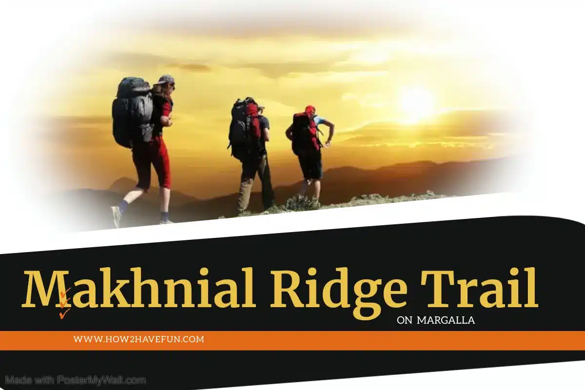
Makhnial Ridge Trail on Margalla
I did the Makhnial Ridge Trail on Margalla Hills Hiking track, just to see what was so special about it.
Makhnial Ridge Trail is behind the Trail No 1-6 Margalla Trails, that’s why it is called second ridge trail.
This Makhnial Ridge Trail is also the second leg of the 44 Km Ridge Track from Shah Allah Ditta to Murree.

Shah Allah Ditta to Talhar Ridge Hike Phase-1
I had already done the first leg from Shah Allah Ditta to Talhar Village on the 1st Ridge overlooking Islamabad’ E-11 through E8 sectors and could wait to do this 2nd leg too.

Margalla Ridge Hike
I don’t think it is a good idea to complete the 44 km track from Shah Allah Ditta to Murree in one go, after all the intention is to enjoy the trip, not conquer a country.
 Makhnial Margalla 2nd Ridge Hike Travelogue
Makhnial Hike Starting point
(33.816648, 73.131599) I started the trip from Makhnial Village at the signboard that reads “Masta Village” at 7:00 am on Saturday.

A motorcycle ride on Careem would be cheaper though, but you get one later in the day, as the riders wake up late.
The earlier to get there, the better, as the Sun starts heating up immediately after 7 am.
 Hiking Equipment necessary to Hike on Margalla
I was carrying the following equipment:-
- Rugged Hiking boots
- Reliable Cell phone with a quality camera and GPS, including Google Maps.
- 3 liters water with ORS mixed into it.
- Lunch of Dates, and Egg roll Paratha
- A hunting knife with a belt pouch
- Head Scarf
- Full Sleeves Cotton T-Shirt and Jeans
- Hiking Buddy
 Makhnial Ridge Hike Total Distance and Time
The total time of the hike from Makhnial to Talhar is 4 hours if you rest in between, but the distance is about 18 km. The shorter hike is to climb down from Masta Village to Gokina, which will be a total hike of 14 Km and 3 hours.

Makhnial Forest Rest House
As soon as I started the hike from the Pir Sohawa Road, I saw the Colonial British Forest Rest House of Makhnial that I didn’t even know existed.
I had to cross the road and check out the place for myself.
Makhnial was probably a wonderful forest site once, but extensive illegal logging has not left much to see there.
The Makhnial Forest Rest house is still frozen in time since 1923 when it was constructed.
I then started my walk on the dirt track from Makhnial to Talhar.

Makhnial is a Jeep-able Off-Road Track and a Bicycle track too
The track is more of a jeep-able Off-Road track, not really a hiking path.
Even for Jeeps it at a few places it is quite dangerous with sudden climbs and narrow channels with dangerous drops on the side.
But I did see a Suzuki Hi roof standing mid-track, hauling illegal logs from the Forest.
Some tough bicycle groups like MTB use this route to Khanpur Dam sometimes.

How is the weather at Makhnial Track?
The hike is easy and cool, as the Sun is shaded by the 2nd Margalla Ridge.
At the midway point, where the track opens up into a high altitude prairie for grazing, the forest is very thick and the breeze picks up speed.
So, take a Fleece jacket with you in autumn.

Things to see during Makhnial Ridge Hike
- Makhniyal Forest Resthouse.
- At this point, you can see Khanpur Lake and Rawal Lake standing at the same spot, on a clear day.
- Autumn, especially November is not a clear view month, because of the haze.
- There are several cliffs along the way with drops greater than 500 feet, perfect for base jumping and Rock repelling.
- Then there are bands of monkeys roaming about here and foraging on the Forest canopies.
- People told me the Margalla Leopard also roams these areas, as they are still relatively isolated from intrusive people.
- The mountain deer of Margalla has also been spotted on this 2nd Ridge of Margalla.
- Then there are weird sounding birds.
- The one thing I noticed that all the ponds and streams had dried out. Thank God for the water bladder that I carry on my back.
- Some cliff sites, overlooking the villages down below are ideal for a family picnic on weekends.
PRO TIP
Stick to the dirt road, because if you do venture on one of the several goat trails, you’d end up in dangerously narrow rock cliffs – as I did
After 3 hours of leisurely walk on the dirt road, you’d reach the village of Masta.
At the village of Masta, you can take the track down to Gokina Village and then hitch a ride towards the right side to Talhar village or towards the left side back to Pir Sohawa.
Makhniyal Hike End Point at Talhar (33.773418, 73.051712)
How to get back to Islamabad
If you still have the energy to press on ahead, then walk all the way to Talhar, on the same dirt road, and then pay Rs 100 to anyone driving on the road to take you to Monal Restaurant, on top of the First Ridge of Margalla.
From Margalla, you can again hitch a ride to Islamabad, as motorcyclists let to ride pillion for free.
From Islamabad, I booked a Careem Ride to my home.
I was back at home at 1:00 pm.
The total time from door to door was 5.5 hours.
Makhnial to Talhar Trekking time was 4 hours tops and that is because I lost my way in-between.

Last leg of Margalla Ridge Hike Makhnial to Murree
The Third Leg of the 44 km Margalla Ridge trail is from Makhnial too Murree, but I do not intend to do that because there it is very populated on the way.
Other Hiking Trails on Margalla Hills
Margalla Trail 1 – The tough hike from NDU to Shah Allah Ditta, behind E-9 Sector.
Margalla Trail 2 – The easy hike from Murghzaar Zoo to Pir Sohawa
Margalla Trail 3 – Moderate intensity hike from the F-6 parking lot to Monal Restaurant
Margalla Trail 4 – This moderate hike starts from Pir Sohawa trail-4 parking, loops around Dhok Jeevan, and ends at Faisal Mosque Parking.
Margalla Trail 5 – Trail 3 and 5 are more or less the same. Trail 5 has better streams.
Margalla Trail 6 – Starts from behind Faisal Mosque Parking and rises to Dhok Jabbi and merges with Trail 4. You can take it all the way to Monal on the Top of Pir Sohawa.
Margalla Pass Trail to Ghaib Peer – This trail is on the Margalla Ridge beyond Margalla Pass on GT Road.
I’d rather do Trails 1, which is behind NDU, E-9, or Trail 6 from Faisal Mosque Parking, all the way to the top.
Trails 2, 3, 4, and 5 have very little mystery left in them, because of extensive use.
Happy Hiking!
BEAUTIFULLY PRESENTED
Thank you for reading it sir