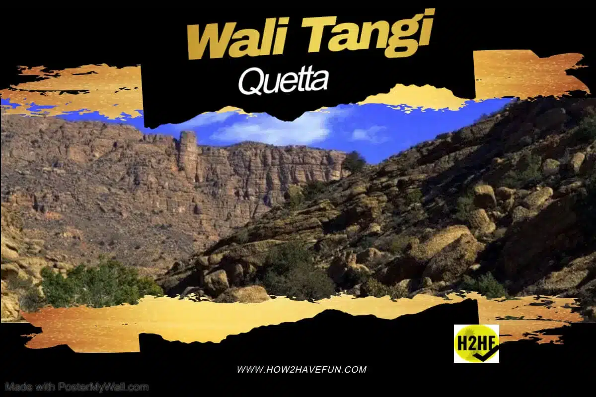
Wali Tangi Quetta, Baluchistan, Pakistan
Wali Tangi is the narrow gorge, 20 Kms East of Quetta City. Beyond the gorge is the Wali Tangai Dam, on the same road where Hanna Lake and Urak waterways lie.
Table of Contents
ToggleWhich Dam is the highest from Seal Level in Pakistan?
The Dam is at an elevation of approximately 8,350 ft (2545 m) and is probably the highest in Altitude. A small waterfall at the end of Urak marks the entrance of Wali Tangi.
Route Map of Wali Tangi Dam
As soon as you exit the Quetta Cantonment from the Rear (Eastern) side, the road takes you first to
- Spin Karez
- Hanna Lake
- Urak Canal
After Urak Kanal come two gates that have military guards stationed there.
If you can somehow pass the guards, then the hike to this Dam is at least 1 hour. That is 45 minutes by road and 30 minutes walk in the last narrow part.
Pictures of Wali Tangai Dam, Quetta
Pictures are pasted below for your reference.
Which river is Wali Tangi Dam on?
Tangai means a narrow passage in a mountain range. The dam just stops the fresh rainfall and sometimes snow melt from the Loe Nekan heights close by.
There is no river here.
Wali means “patron” and is derived from the word for someone who is saintly and closer to God.

Why no one goes to Wali Tangi Dam?
Quetta is the provincial capital and largest city of Baluchistan, Pakistan. From tourist point of view there are many things to do and see here but this Dam is mostly ignored because it is not easy to reach the site.
I personally love Quetta in Baluchistan because of its vast untouched wastelands and mountains.
Weather at Wali Tangi
Quetta in general has a pleasant temperature in summers, except in winters, when it can snow a few days too.
Further ahead there is a probably is a Wali Tangi waterfall, but I didn’t get to it in summers, I only went to the Tangi Dam.
What to see at Wali Tangi?
The Dam site has a small hut and crystal clear water. There is also a large boulder there that resembles a Gorilla.
The legend of the Mum Quetta
The most interesting history and story of Quetta start from a British officer who managed to kill the mythical creature ‘Mum’ that was ravaging his troop numbers. This ‘Mum’ would pick off sentries on guard at night and simply run up the steep Koh e Murdar Mountain.

The British officer, as the legend goes, presented himself as bait for the Mum. It was when the Mum was carrying him away towards the Koh e Murdar that he ordered his troops to open fire, killing them both. This story is still very strong in urban Quetta’s stories, even after a full century has passed. Some say there is a grave with a Mum headstone too in the Gora Qabristan.
Local legend says that there was this creature. I highly doubt it.
Quetta the safest city
Quetta was selected as a military garrison by the British because of its natural protection from three sides
- Takatu in the North
- Murdar in the East, and
- Chiltan mountain range towards the South
- Mushlaq at the Far Western End of the Valley
 The road to Wali Tangi is stony.
Wali Tangi Dam History
The Pakistan Army constructed Wali Tangai Dam in early 1960, with the purpose of supplying clean water to the Urak Valley and Quetta for irrigation and human consumption.
The dam stores and utilizes freshwater from melting snows in the surrounding Zarghoon Hills, which are part of the Suleiman Range.

The landscape on the way looks like lunar surface.

Day trip to Wali Tangai Dam
A trip to this tangi dam is a day trip. You need to show your identity to go inside the park. The distance between the gate and Wali Tangi is 5 km. I won’t say that it was a dangerous road that took us to the dam. But the road is unpaved and stony.

Try not to take your own car.
Where to have lunch at the Dam
At dam, you can get tea only so take your own food there.

Conclusion
Wali Tangi Dam has crystal clear water and a secure environment perfect for a day’s outing for families. That is if you can somehow get permission from the military garrison.
I would strongly recommend every family be allowed to picnic there.
Also see,
