Travel to Punjpeer Rocks Pakistan and Narh, waterfall
Punjpeer rocks travel and Narh waterfall is located just behind Kahuta town on the border of Azad Jammu and Kashmir, Pakistan.
Punjpeer Rocks weather
The weather there is windy and cool even in summers. The location, google maps route, and pictures of Punjpeer rocks travel and Narh waterfall are pasted below for your reference
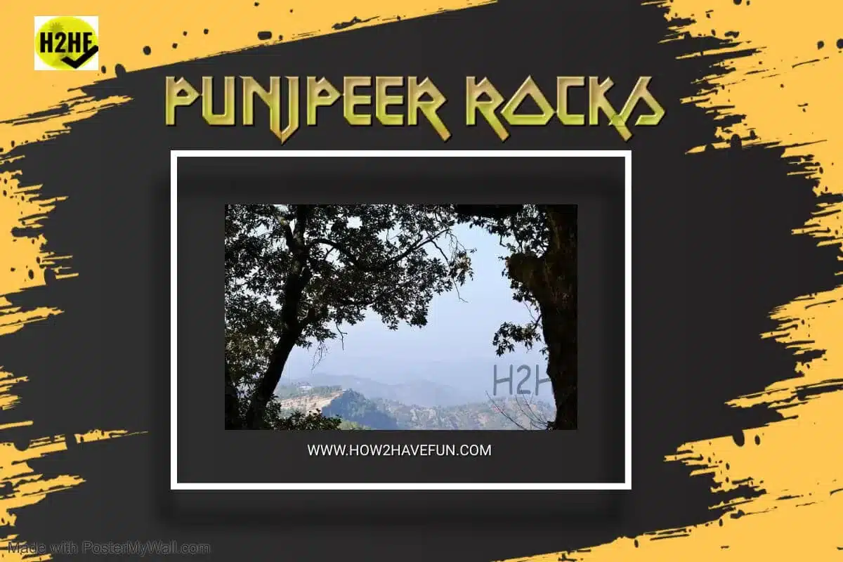
Punjpeer Rocks pictures and images:

Distance of Punjpeer Rocks from Islamabad
Narh village in Kahuta, Pakistan, is hardly three hours from Islamabad during rush hours.
Google Maps Punjpeer Rocks
( by clicking this link you can see the detailed route to reach there. You’d have to turn left after driving a few minutes towards Kashmir. There is hardly any marker, so ask someone at Kahuta Y junction, to find panjpeer location.

Just one and a half hours’ distance from Islamabad, if you leave early. It is a nice, clean, quiet, and beautiful place to picnic and hike. The road goes right up to the rock formation.
Hiking at Punjpeer Rocks
Only the last 45 minutes of the hike are required to reach Punjpeer ziarat. At the highest spot, it is 1775 meters. It gets chilly in winters and snows too.

Panjpeer Rocks Kahuta Pakistan is a rock plateau at 1800 meters, where it occasionally snows in winters.

Summer Weather at Punjpeer Rocks
During summers, Panjpeer Rocks’ weather and the temperature are breezy and cool. Pictures and Photos of Panjpeer Rocks are beautiful to see.

Punjpeer Rock Cliffs for Rock Climbing

Unique Rock Formation
The whole Punjpeer rocks area is one solid piece. All the mountains and hills are rock solid. The trees, houses, and streams flow over this unique formation.

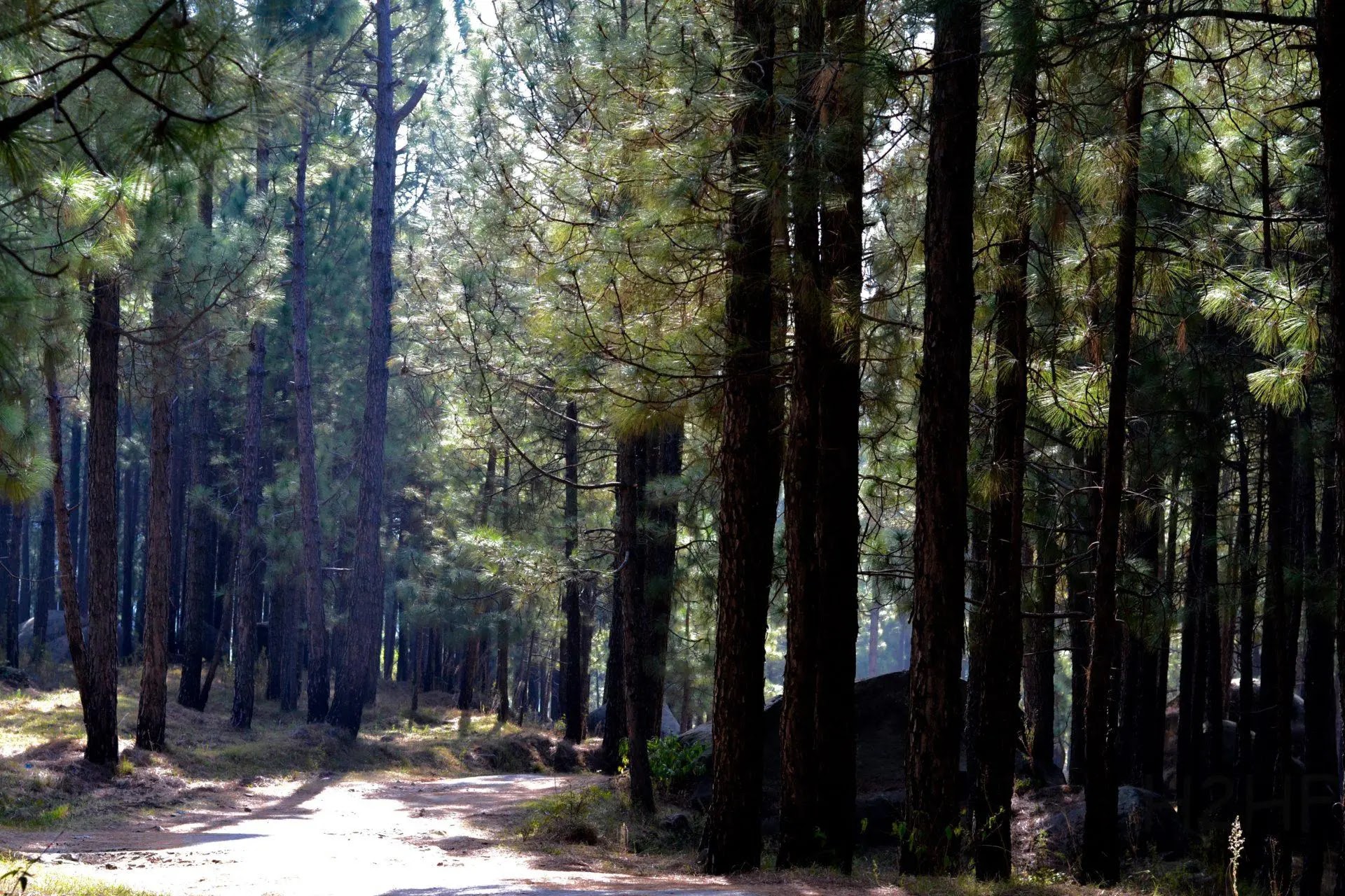
Thick forest
As this area is just beyond the reach of the general public, forests at the certain area are still intact – and quite thick.

Punjpeer Rocks for Paragliding and Rock climbing
The ledges and cliffs there are perfect to para-glide right up to Kotli-sattian road, AJK and to practice rock climbing.

Punjpeer Saint’s ziarat
The Saint’s ziarat is perched on the highest hilltop of the area. It is a 45 minutes mild hike from the last vehicle parking spot. It is cool and with a wonderful full view of Azad Jammu and Kashmir. Local legend says that five peer brothers resided here 100 years back.

Narh Water fall Punjpeer
During summers, water flows over the solid rock formation and falls over a cliff into a pond below. It is a beautiful sight; be careful as one student died there.
The Narh waterfall is very close to the Cliffs of Kahuta waterfalls.

Trip to Punjpeer Rocks
We went to Narr twice, once in summers and once in autumn; it was enjoyable both times. Do hike the last half hour up to the ziarat. And bring your lunch, water, and tea with you to eat at the top. It has a clean marbled floor and washroom.

Some information trivia for you; Panjpeer Rocks is not to be confused with the Panjpeer village Swabi with their Panjpeer Nazmona, Quran, Naat, and Ijtema at the Panjpeer Madrassa. Panjpeer is also.

For relatively tougher hikes you can go to
Please include a detailed map. that’s the only practical thing that we need, SIR.
Thanks for the input, we are attaching link of detailed map to punjpeer. We hope that it will do the job for you.
https://goo.gl/maps/LfNMCW9HDRxBUPB86
Very serene and quiet. Looks good for hikers.